Last Week at DWT
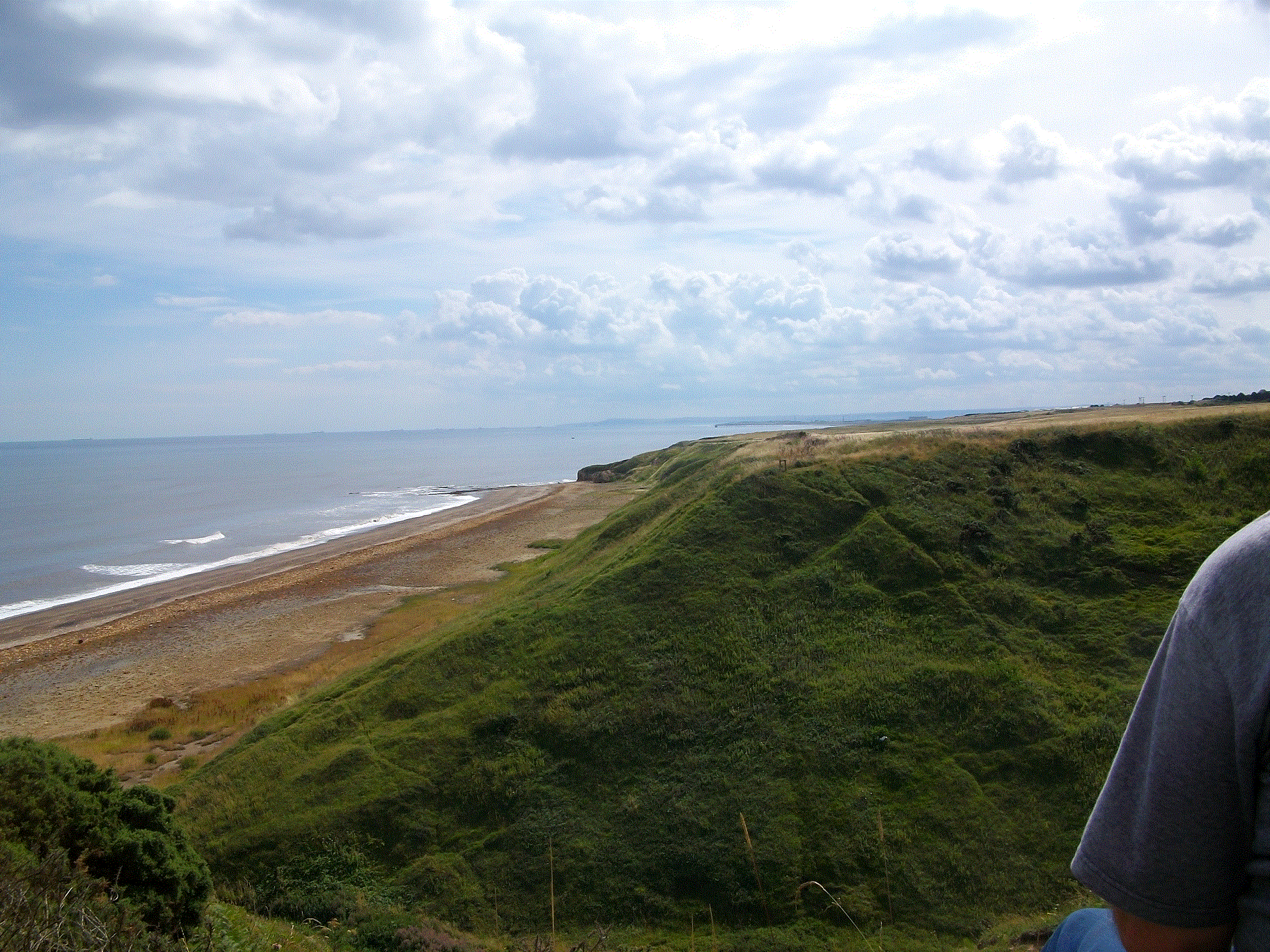
Sadly, this week is my last at DWT. I was out with the reserves’ team again this week, this time at a coastal reserve called Blackhall rocks near Hartlepool. The views of the County Durham coast were fantastic. In my first week I was the only girl and this week I was one of only 2 girls out on site! But I go to Imperial, so I’m used to that. The habitat at Blackhall rocks includes woodland, scrub and para-maritime magnesium limestone grassland (wow, what a mouthful). Although scrub provides a good habitat for birds, it is common around the UK. Para-maritime magnesium limestone grassland however, is a lot rarer and most of it is found along the Durham coast. It supports a large number of plant species, including sea plantain and scabius. I was helping to remove coarse scrubland species like brambles and some small trees. Some DWT staff used strimmers to cut back the vegetation while volunteers raked it up and put it into bags. This will allow the grassland to grow back instead of scrub. In ecological terms we are preventing succession. The grassland is teaming with invertebrates and we even came across a few frogs. I never knew that such a unique habitat existed in my area. The North East is certainly not as “desolate” as some people may think. The land was very steep though, and I had a few aches and pains in the morning!
I would like to thank both DWT and Charity Insights (especially Amy and Eileen!), without whom I would not have been able to do this internship. For me, it has been a much more rewarding and valuable experience than having a summer job could ever have been, and I am sure it is going to look great on my CV. Thank you!