I have been continuing work on the user guide, this week focusing on producing case studies from Living Landscapes and NIAs, where the use of GIS maps would help. Living Landscapes is a nation wide project, created by the Wildlife Trusts, that aims to restore, recreate and reconnect habitats o support native wildlife. This will give species more space to move between patches, increasing their chances of adapting to threats such as climate change. The point of this part of the document is to allow people who would potentially use the maps (trust staff, housing planners etc.) to see how GIS maps would benefit their project. I have regular meetings with my supervisor who then makes me word documents with pointers and advice.
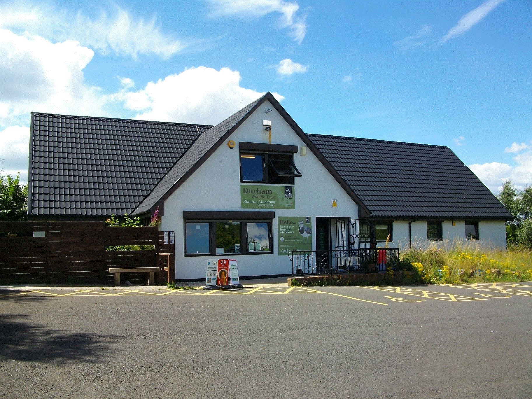
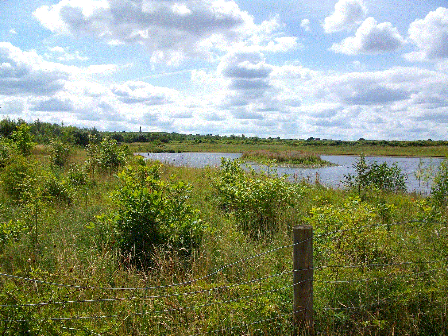
DWT’s office is in Rainton Meadows, a nature reserve just north of Durham that has been restored from an open cast coal mine. During my lunch breaks I’ve been taking advantage of the fact that I’m working on a nature reserve. So far I’ve seen over 20 species of bird from various bird hides around the site, including some fledgling kestrels learning how to fly. One had fallen out of its nest and became stuck in the long grass, but a friendly passer by rescued it and it flew off on its way.